For the past two weeks (at least on Wednesday nights!), there has been no appreciable current through the locks… or at least to our way of thinking! A slow approach, a slow drift through, an easy climb over the walls, a casual seat on the top!
What gives!…? This is always the question.
Remember:
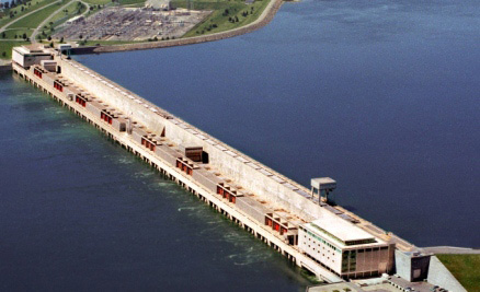
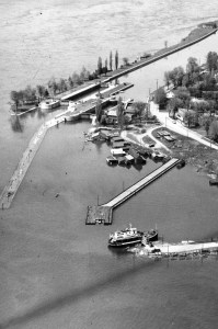
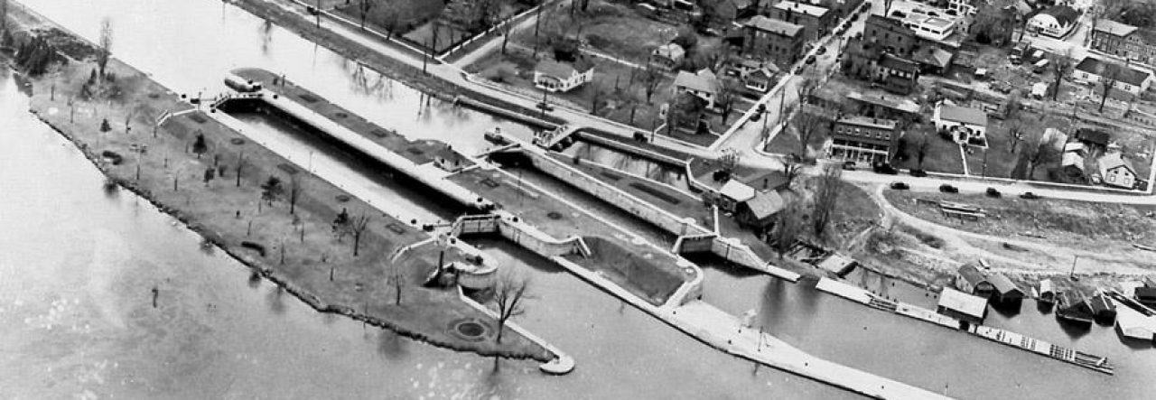
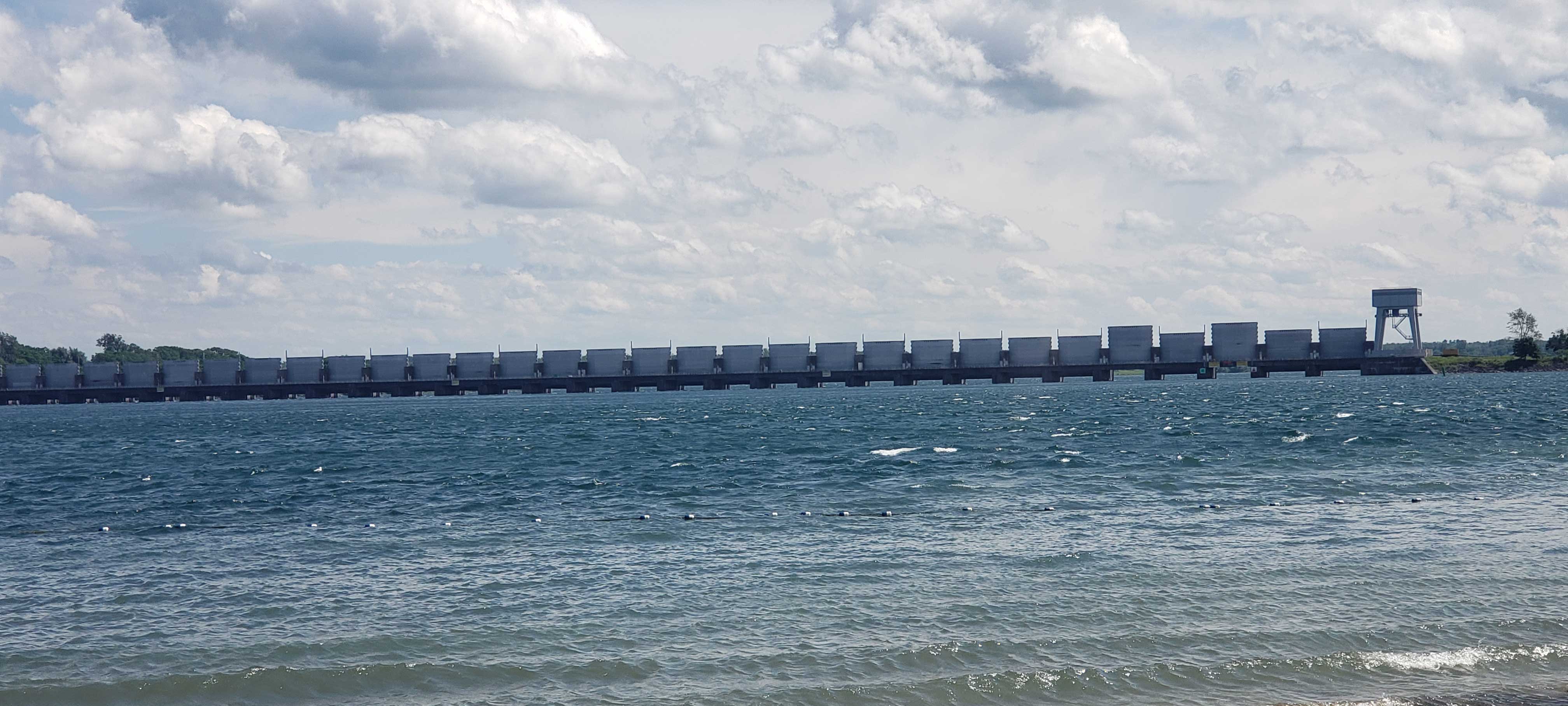
(1) There is a ginormous power dam downstream at Cornwall that is responsible for providing water to hydroelectric generating dams beyond it – one in Canada and one in the US. It is this dam that controls the flow out of Lake Ontario by opening or closing its gates. Therefore it is this dam that alters the major flow through Lock 23.
Because Lake Ontario is at just the right level at the moment, the outflow at the Cornwall dam is just about “normal”, or “average”, or whatever you want to call it. Technically speaking, it’s currently 8750 m3/s (compare that to the flows in 2017 of 10,500 m3/s when Lake Ontario was flooding and we were frantic to lower its level).
(2) There is a second dam upstream at Iroquois. Its sole purpose is to keep the water level between the two dams manageable for all the people living on those shores – such as maintaining intake water levels and high enough water to get boats in and out. Water levels are considered fine at the moment so its gates are all wide open to allow “normal” upstream river flow.
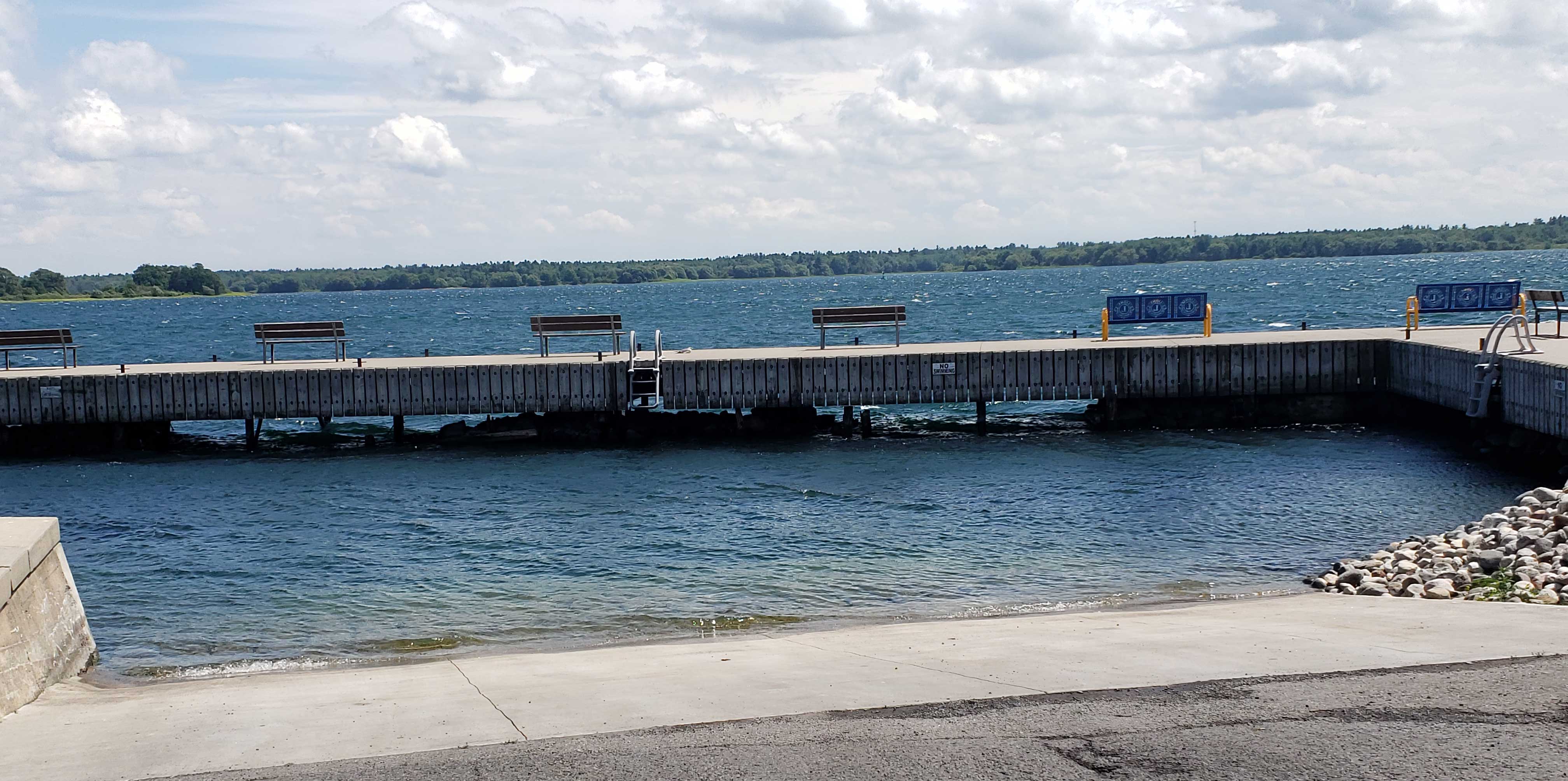
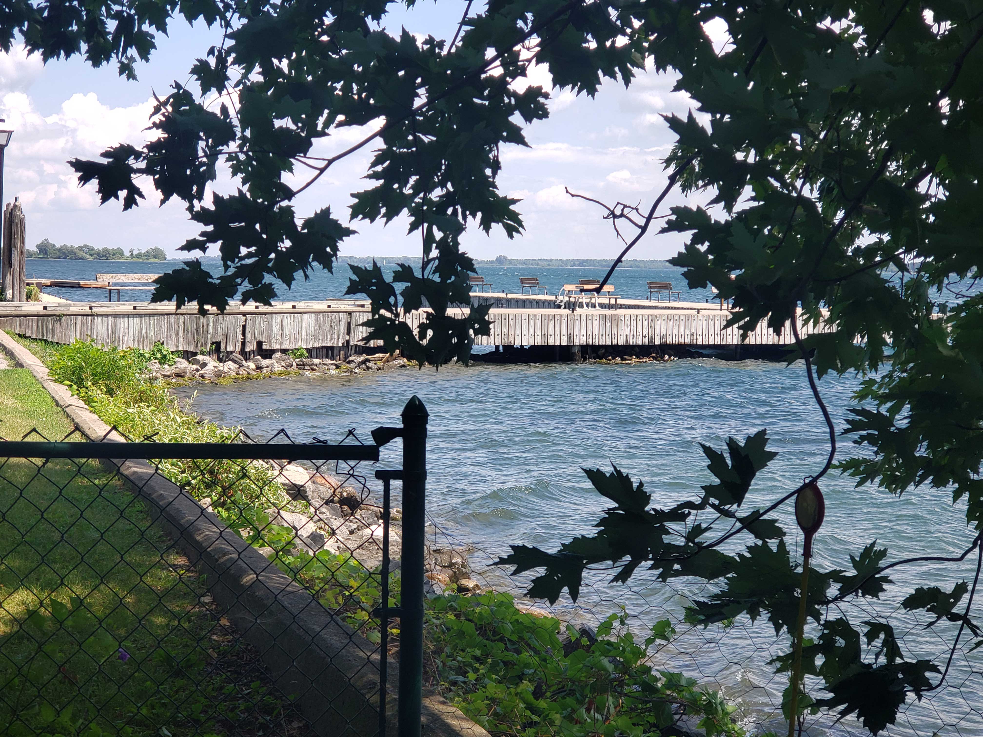
As far as this summer goes, the water level at Scuba Palace has looked like the photos below all season. In fact it’s looked like this for much of the last 3 years. The first is the view from the public boat ramp, showing water levels under the dock and the ladder well out of the water. The second is the view from our yard looking at the dock. Naturally, it’s the second one that I eye-ball when gauging levels.
I cannot scientifically say why there has been so little current at the locks, despite high normal current upstream at the Tin Plate site. But here are the flow rates of the river since the end of May, as well as the water level in Lake St. Lawrence (that space between Cornwall and Iroquois which Morrisburg is right in the centre of):
| DATE | FLOW (m3/s) | WATER LEVEL |
| May 25 | 8890 | 240 ft |
| June 2 | 8850 | 240 ft |
| June 9 | 8890 | 240 ft |
| June 16 | 8850 | 240 ft |
| June 23 | 8820 | 240 ft |
| June 30 | 8750 | 240 ft |
| July 7 | 8710 | 239 ft |
| July 14 | 8660 | 239 ft |
During the last two weeks, the flow has dropped considerably and the level has dropped by 1 foot. One foot makes a great difference in how one approaches the entry at the locks, so it seems perfectly reasonable to me that it would also affect the flow, and vice versa. We shall see as the summer rolls on.
Sydney
