Directions for getting back to Canadian soil have changed a bit since some landmarks have been altered or disappeared altogether with the dramatic upstream flooding of 2016/2017. However the general exit strategy remains the same. Most of the videos are from my 2019 dives.
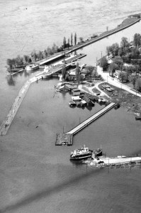
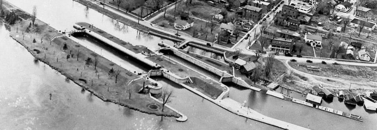
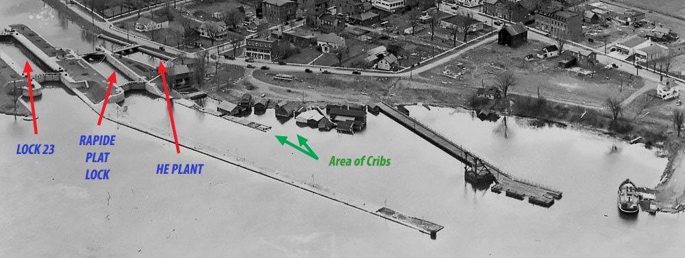
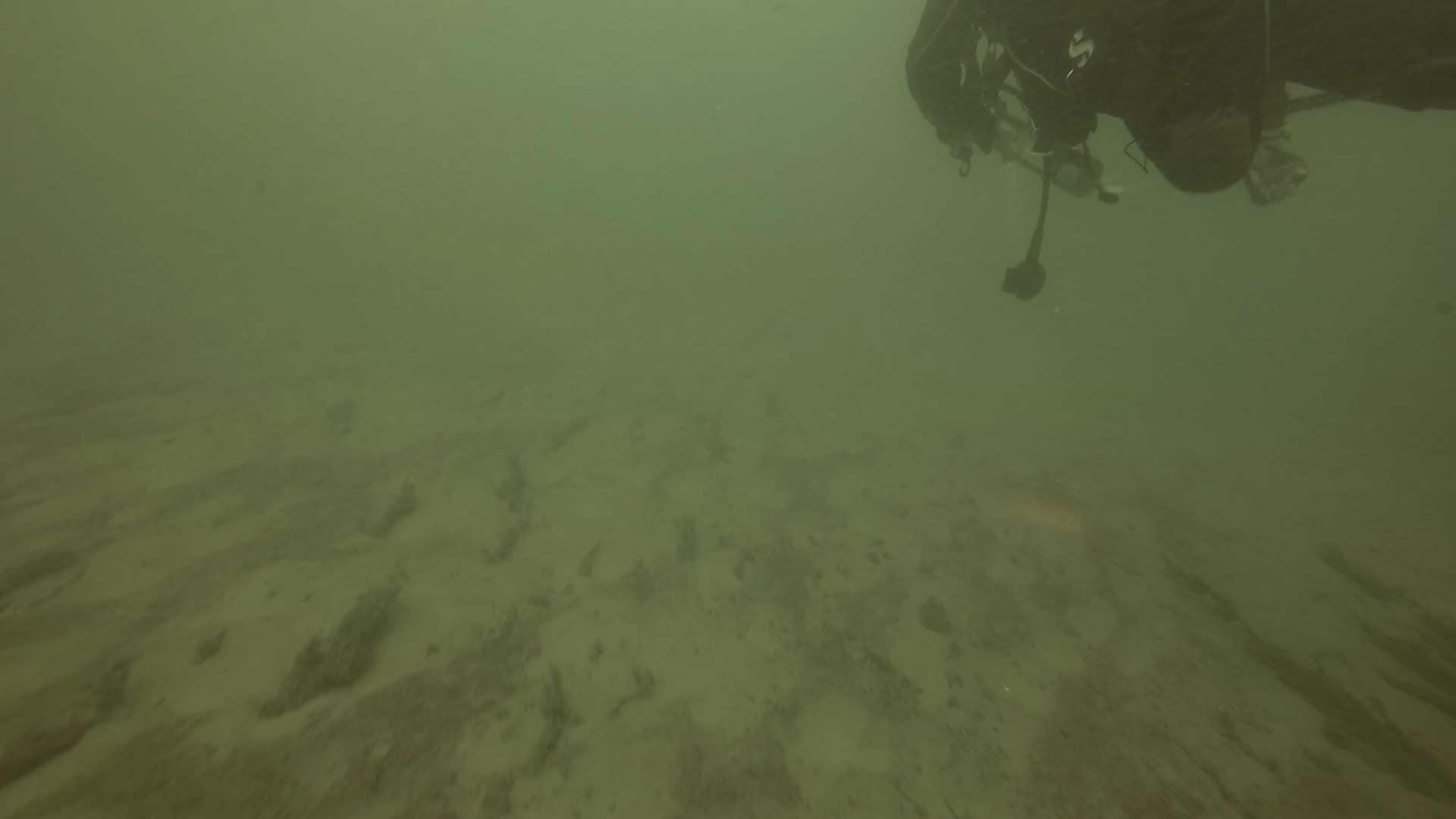
The three basic routes through the locks include Lock 23 (outer), the Rapide Plat Lock (middle), and the Hydroelectric Plant (inner). Whether you drift to the end of any of these, or any spot in between, you must at some point cross back to the innermost areas. Remember that even the HE Plant remains a considerable distance from shore.
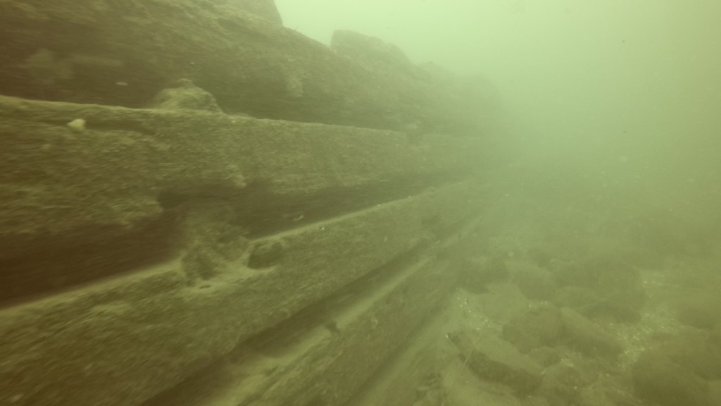
Most divers enjoy going up and over lock walls to explore more than one spot, ultimately ending up in the area beyond the HE Plant (its tailrace) where there are lots of posts, stumps, and general paraphernalia to investigate. There are 3 large cribs (each about 25 x 15 feet and separated by 20 feet) at the end of the tailrace which mark the start of our standard route to get back to the Morrisburg beach.
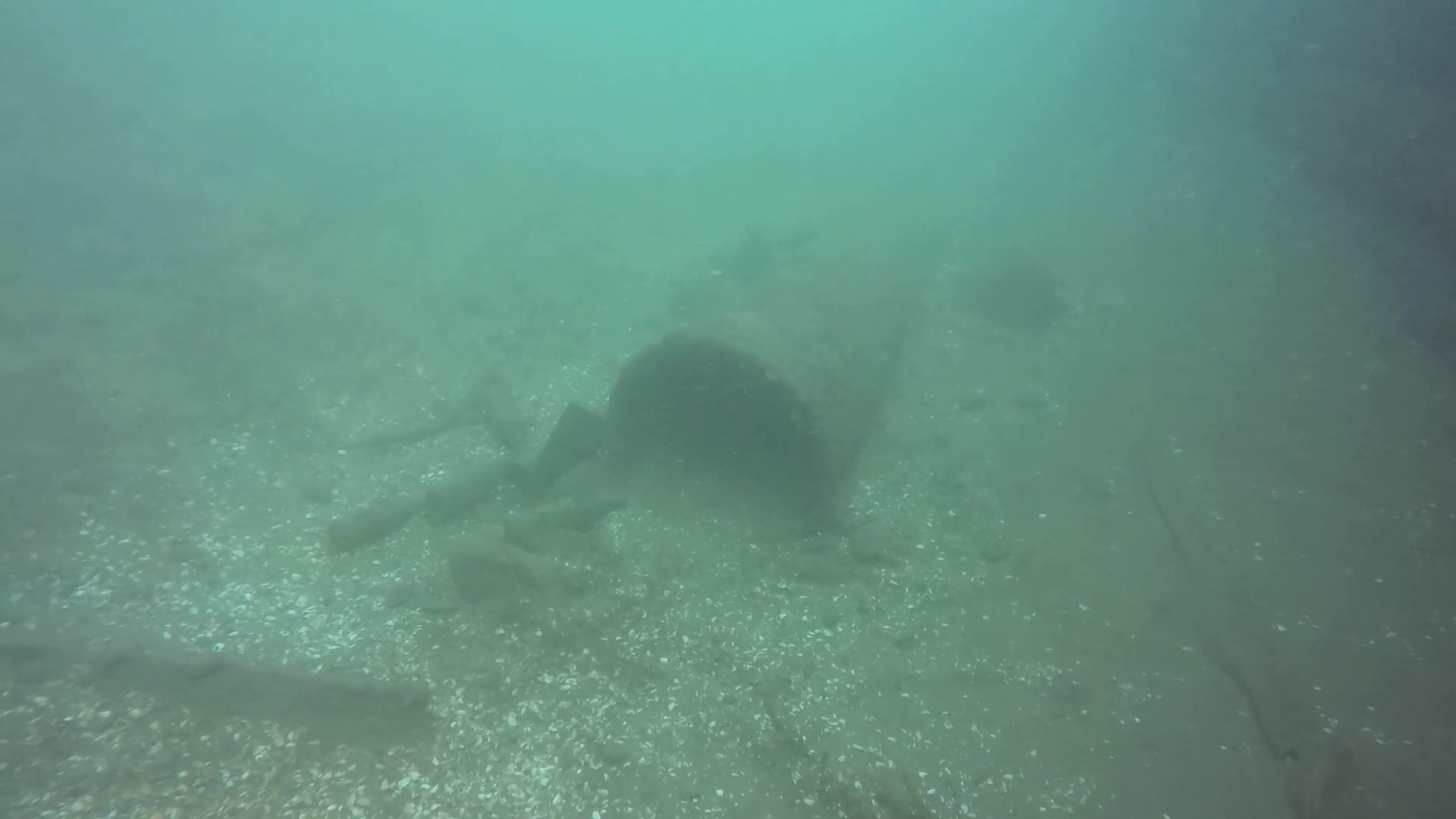
The first crib is pretty well blown apart, with vestiges of the wooden beam walls (most complete on the east side) and a lot of big boulders pouring out.
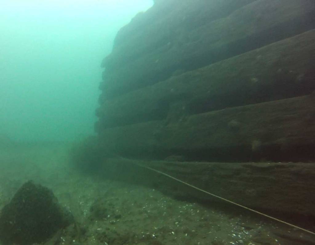
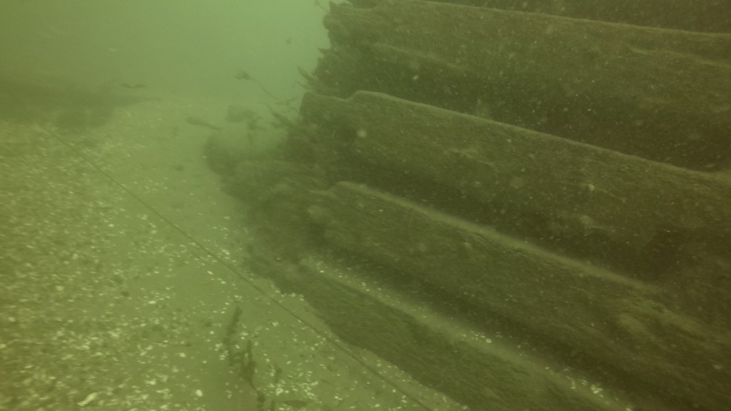
The second crib is in better condition. Its most notable feature is a north-side “debris field” and a half-buried pipe.
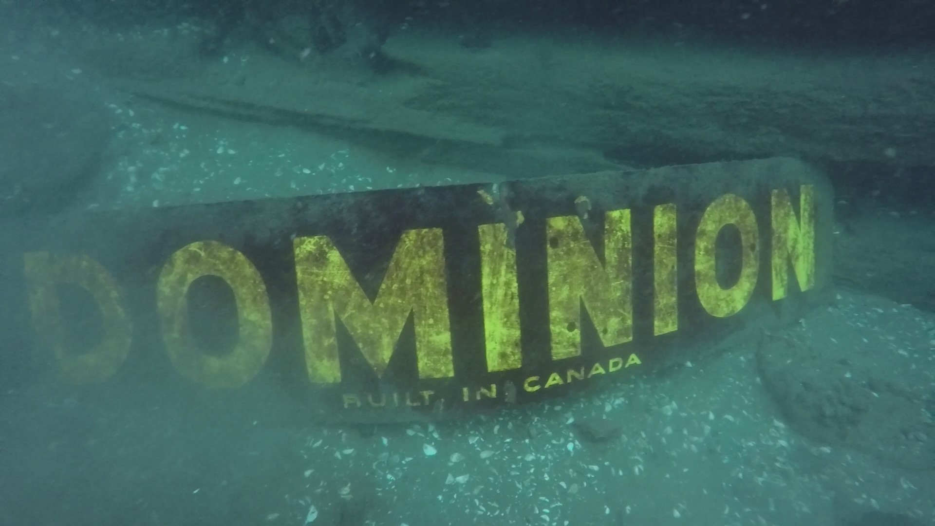
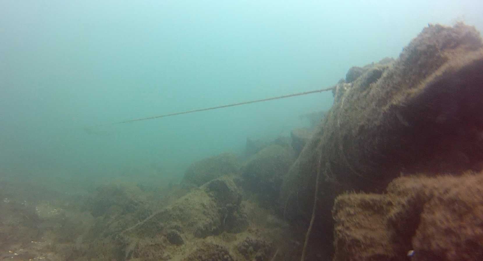
The third crib is in the best condition and it has the most obvious landmark on its north side – a brightly painted “DOMINION” sign. Divers like to look after this sign, dusting it off regularly so that it leaps out at you as the place you want to be! That’s because it’s from this crib that you proceed northeast to your next exit landmark. (Last year for the first time – ever – I looked at my compass while cruising along the north side of the cribs to note that they were already positioned on a northeast heading!)
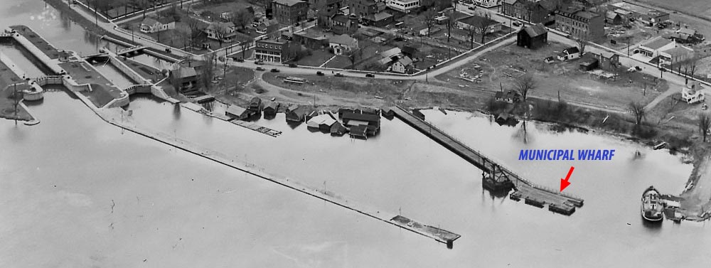
You’re about to head to the crib of the Municipal Wharf.
At the third crib (where you’re in about 32 feet of water), there is a taut line from long ago, before I started diving here, and still in excellent condition, running due north (note – 2022 – the line has shifted a bit with the recent high currents, and runs more NNE now) from the crib at its SE corner (you’ll likely be drifting along its north side – turn the corner and look for the rope close to the ground).
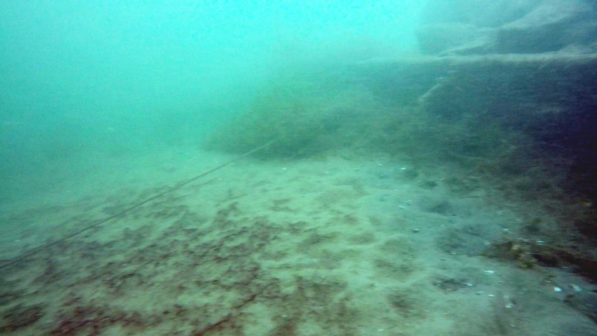
The line runs N, turns E, then N, then E, then stops in the “middle of nowhere”. If you simply follow it until it ends and then swim north, your swim will then be about 10 minutes more and you’ll hit shore somewhat upstream of the beach, missing the next two interesting landmarks.
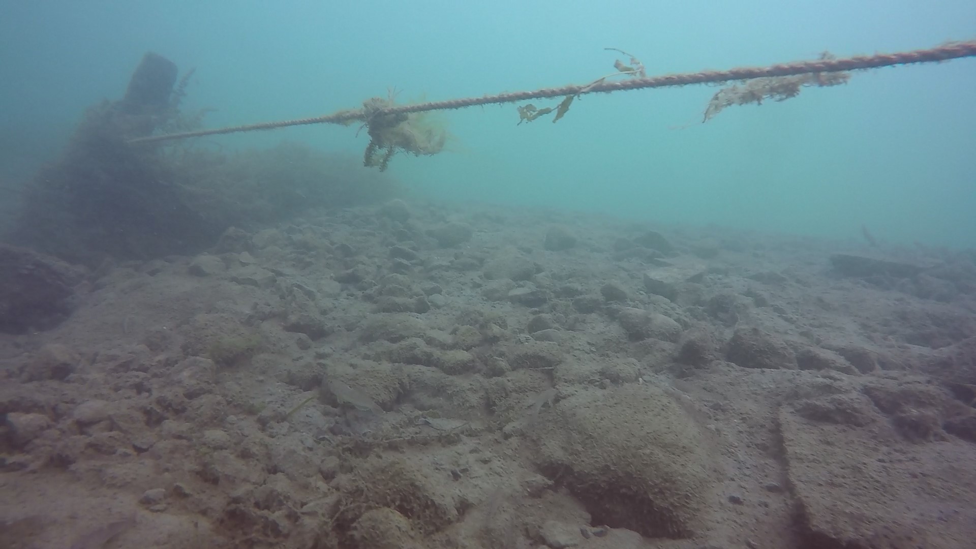
While the rope is weed-free where it’s protected by the crib, it quickly becomes messy… but still easy to follow. Below is a snapshot from one of my old videos in 2014.
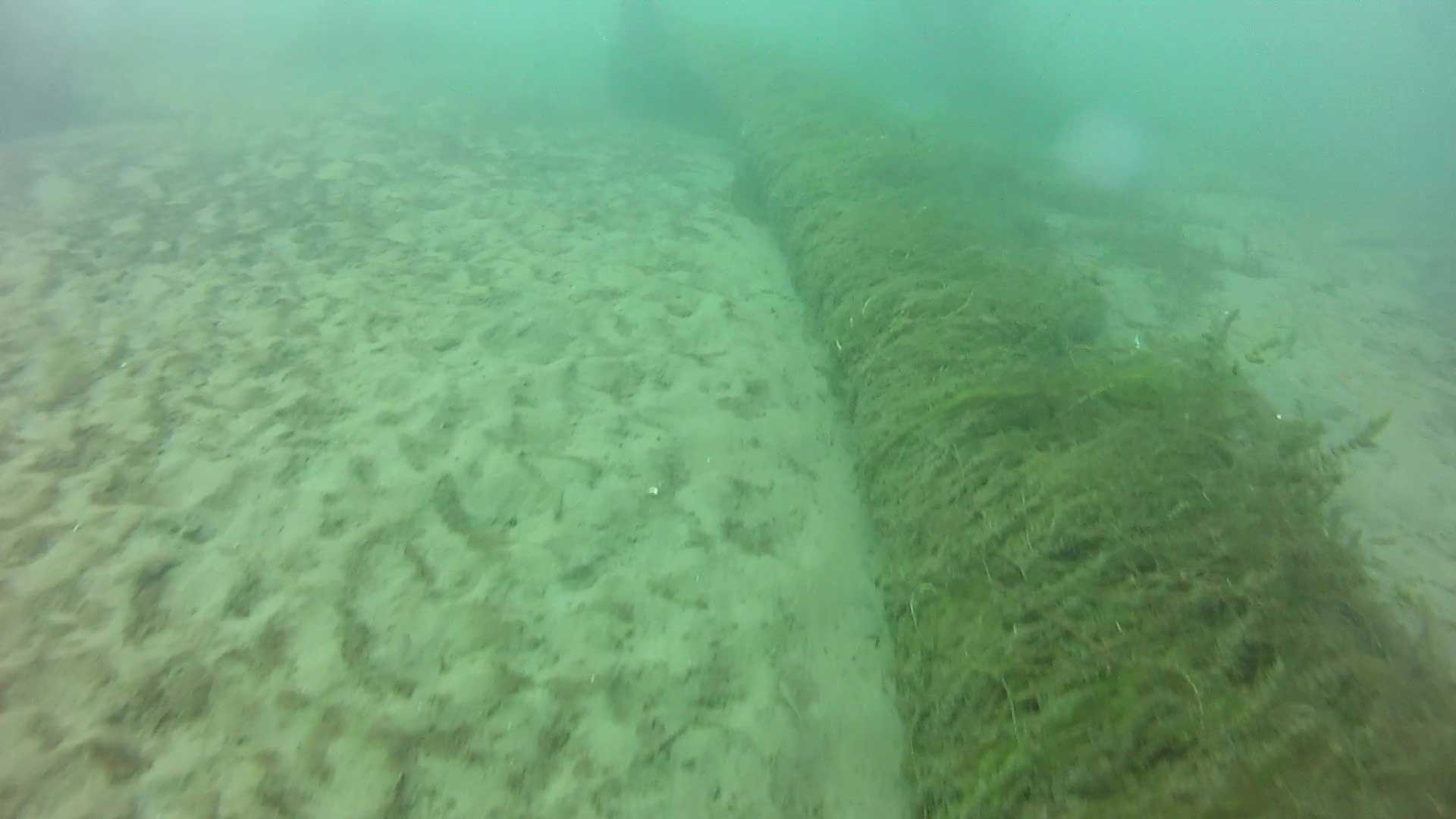
I prefer to leave this rope as soon as it turns east the first time, then swim NE at a quiet pace over river bottom. The tiny weeds along the bottom help point the way. (That’s Larry’s stage reg hanging down… I’d better tell him.)
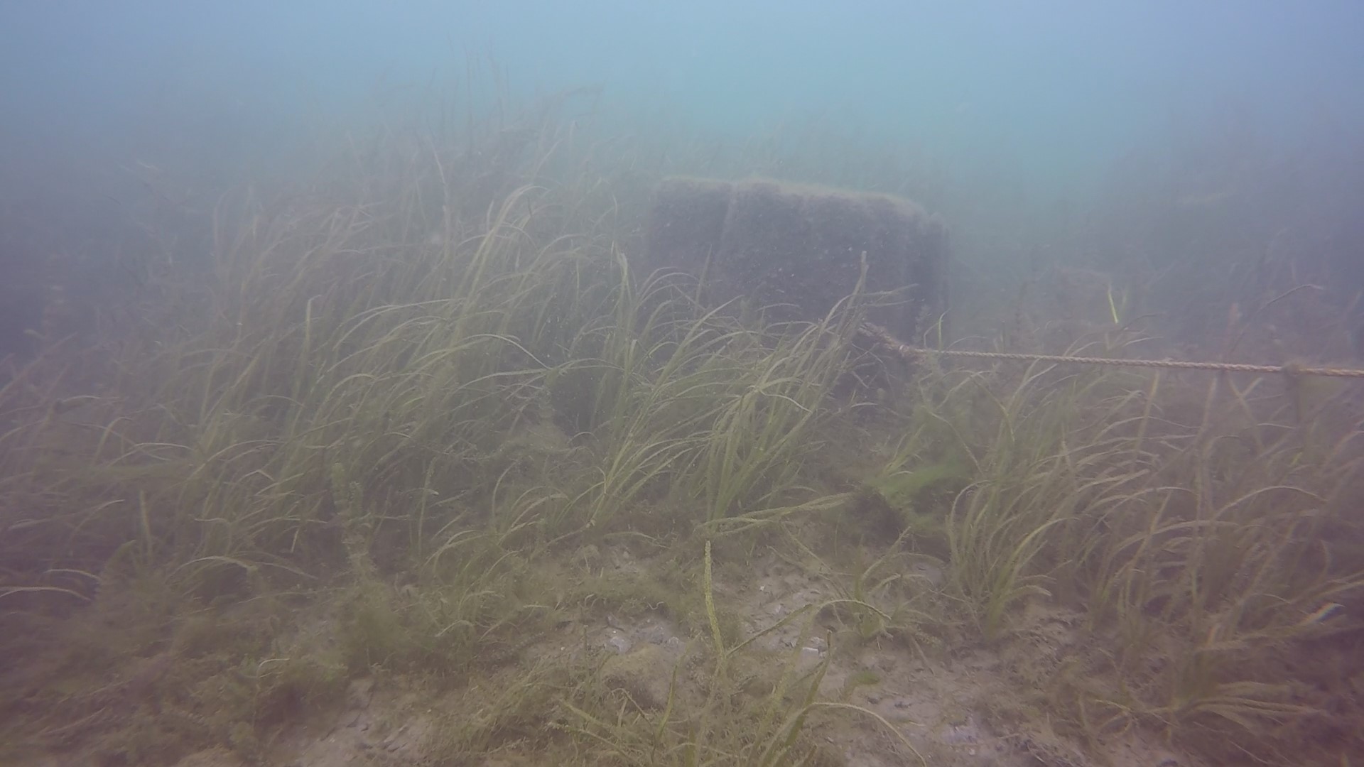
You’ll find yourself swimming over a reasonably boring river bottom when, at around 25 feet, you’ll notice “something” in the relative gloom ahead. It’s the crib of the municipal wharf, noteworthy in that its wooden sides are constructed of squared timber (like the 3 cribs you were just at) but it’s much larger, lower, and rectangular. Divers often talk about it sitting “in a hole” but what they’re experiencing is the gradual incline of the berm in front of it where, as in other parts of the lock, river flow has been impeded and silt dropped. You usually run into the wharf at its short side, like in this video. Larry’s silt cloud added a little more gloom haha.
Here is a longer video taken in 2016 showing the construction of the crib. The low line you see attached to a tree leads to nowhere in particular.
At its NW corner we’ve attached a line close to the ground leading to a large concrete pad a few meters away. I have no idea what this pad was – but we all now refer to it as Jimmy Hoffa’s grave (if you are too young to know the story, Jimmy Hoffa was an American teamster who was associated with organized crime and who disappeared without a trace in the early 1970s).
Head to the east end of this pad and, you guessed it, set your compass northeast again. You’ll see more of those ground-hugging weeds roughly pointing out your direction as you slowly swim for 3-4 minutes, passing over an assortment of man-made posts, planks, building debris, and miscellaneous boulders until another structure suddenly presents itself ahead. It’s the old ferry dock crib, at about 20-22 feet. The ferry travelled between Morrisburg and Waddington, NY in the early 1900s.
Its construction is quite different again. Whole logs have been stacked without squaring them off and there are chunks of iron presumably used for anchoring the columns.
Since cars had to get on the ferry, they needed a road. So, surprise! There is an unmistakable road attached to this crib, leading NNW (and therefore a wee bit into the current). We’ve attached a rope to the posts along the upstream side of the road – they’ll guide you to the large stump at the end of the road, at 13-15 feet. The rope is relatively high in the water and therefore covered with weeds, so many as to be almost indistinguishable as a rope – instead you look for a mass of orderly weeds! It’s best to drop below the level of the road and travel alongside it – current is much weaker and it’s easy to pull yourself along boulders if you need to.
At the stump, it’s a matter of heading due north through almost no current (but a veritable forest of weeds) to the beach. The stump is pretty much even with the beach but still a fair distance (about 200 meters) out. Depending upon water levels, it sits at 13-15 feet.
Now the weeds begin in earnest. You’ve still got about a 5-7 minute swim and it quickly becomes shallow – as little as 4 feet by the time you reach the beach lines – so deploy a surface marker buoy to alert boat and seadoo traffic!
Welcome back to Canada!
