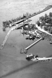
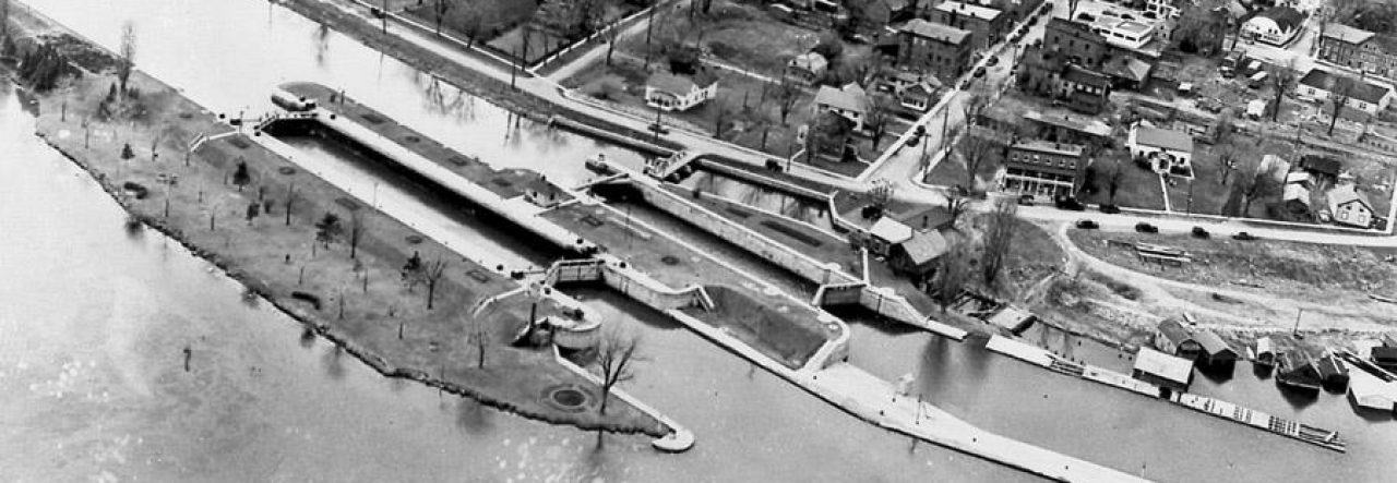
There were small stone locks in use around Montreal as early as 1825 but by the early 1840s, steam and propellor-driven boats were too large for these but still unable to overcome the rapids and currents on their own. The Rapide Plat Lock, as part of the Williamsburg Canal System between Long Sault and Cardinal, was built at that time to the standard size of 200 feet long by 45 feet wide, with a depth of 9 feet.
Here is where the lock is situated within the current dive site. We think of it as the “middle route”. Both the much larger Lock 23 to the south and the hydroelectric plant to the north were built some fifty years later.
I have written about the approach drift to this lock here and here.
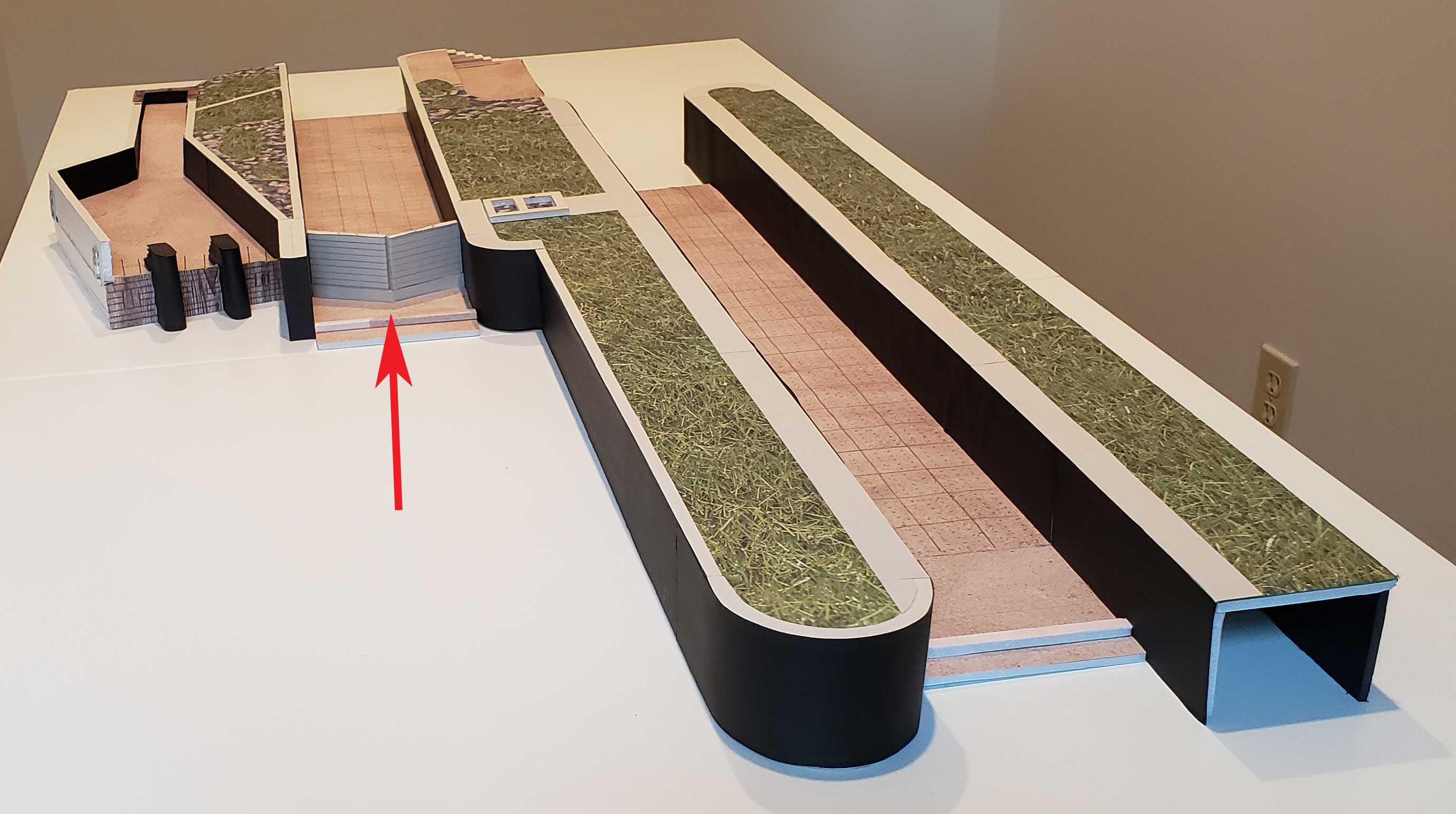
The Rapide Plat Lock begins with the weir at its upstream end where concrete beams were positioned at the spot where the upper gates would have been. This was to stop boat traffic after the gates were removed and Lock 23 was in use.
Like so many landmarks at the site, this V-shaped wall is the only one, pointing upstream with minimal growth on its stone. Here I’m slowly ascending the weir, expecting a quick current at the top.
Its top is unique with its large diagonal cuts.
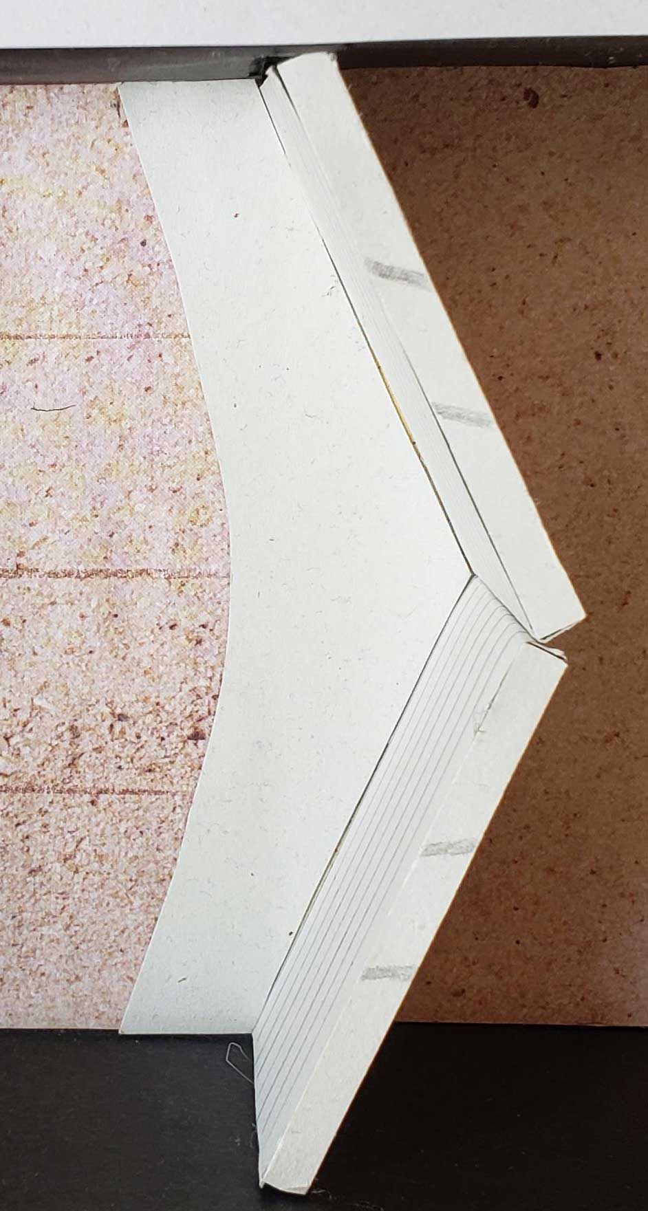
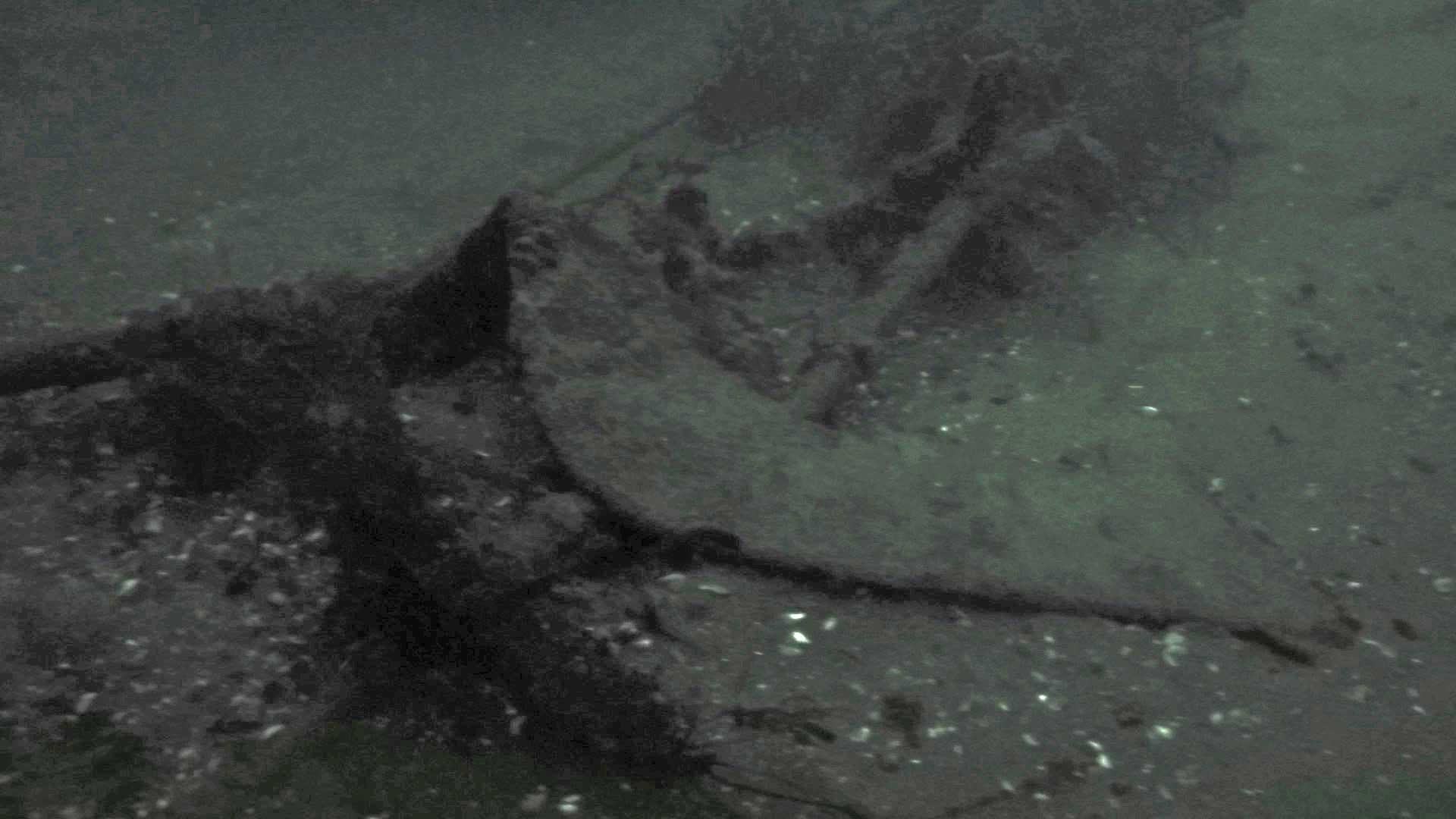
As you descend on the other side, note the large curved concrete pad at the base, holding the weir in position. I’ve shown its relative dimensions on my 3D model.
Here’s a look at the concrete pad in 2018, a year after high river flows from a flooded Lake Ontario the previous year. You can see a new silt hill beyond the pad leaving only a foot or so of pad showing and the pad itself covered in silt.
Here’s the pad in 2019, where the calmer current has cleaned things up a bit for our group. The divers are positioned much lower, showing how much silt has washed away from the pad.
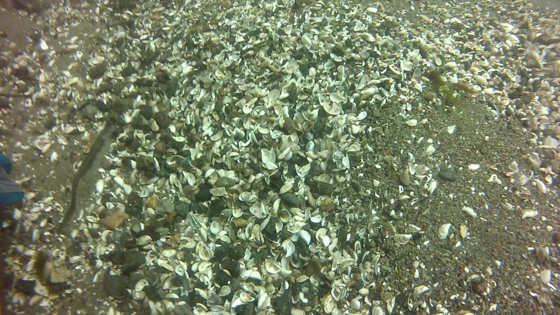
Larry lights up one of the tunnel sluices at the side of the pad to show an old hand winch still inside, used to crank the gates open and closed. Notice the zebra mussels clinging to the stone at the end of the video… they’re all dead now, leaving bazillions of shells along the river and site bottoms.
This pile of shavings of some sort was not here before 2018. I don’t know what they’re from. When the current is strong, they get lifted up and swirl around above you by the weir.
Now you’re ready to explore the lock itself. Note the dressed (smooth) stone of its walls and its wooden flooring and bolts – which, small as they are, can be handy for gripping (with your fingertips, haha)… there is a dramatic back-eddy near the weir (a normal phenomenon wherever there are large obstructions to flow) and it can be quite difficult working against it for the first few meters. It often helps to ascend 4-5 feet where the eddy is not as evident.
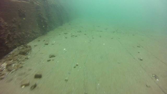
Here’s the lock flooring.

As you progress through the lock, there are a number of interesting objects to see plus a lot of boulders strewn around from its 1904 dismantling. Take the time to examine the walls, noting that the bottom blocks are angled a bit toward the centre of the lock – the walls are not overly high since the lock only provided a 9-foot draft. Look for the indentations where the downstream gates folded into the walls, plus their sluice tunnels just afterwards.
There are wheels, tires, cables, light standards along the way… nothing much has changed over the 8 years that I’ve been filming except that some things have been partially buried by the heavy silting of 2017… but they’re still visible.
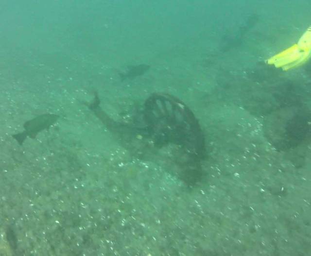
the wheel 2014 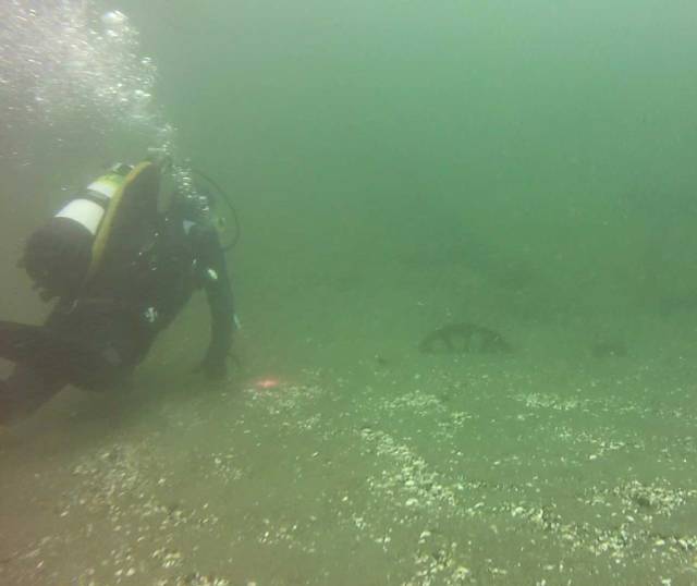
the wheel half-buried 2018 
light standard 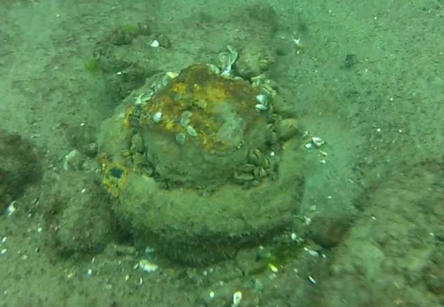
?? 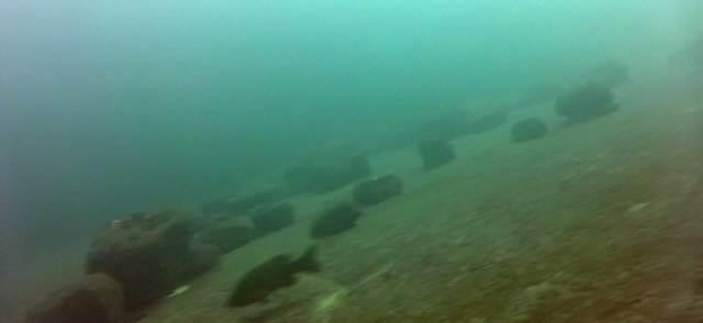
lots and lots of boulders
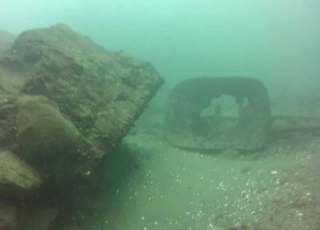
It’s pretty easy to miss the downstream curved sliding guides for the gates and their V-shaped base set into the floor if you’re not watching for them. I was SURE I had taken a video of them but I can’t find it. Oh well.
If you follow the south wall as you exit the lock, you will see the stone become wood as you glide along the approach pier for Lock 23. If you follow the north wall, you’ll gradually see the deterioration of the wall as it was blasted along with the hydroelectric plant to prepare for the 1959 flooding: you’ll come up to a mess of toppled-over beams where the cribs start and you move into your exit route. This wheelbarrow is the main landmark at this point.
wheelbarrow as you approach 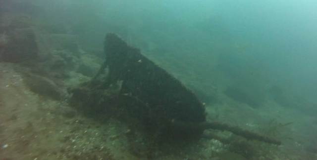
back of wheelbarrow
Update August 2021: I went looking for the wheelbarrow since I hadn’t seen it for a while, and a fellow diver mentioned that only those who knew it was there would recognize it. Was he ever right! Here is what it looks like now during an evening dive in not the best of light, sadly no longer the landmark that it once was.
Most of the “artifacts” are near the downstream end of the lock or even past the lock itself. You can drift for as long as you feel, keeping in mind that you want to end up at the beach in Morrisburg… not Cornwall :).
