
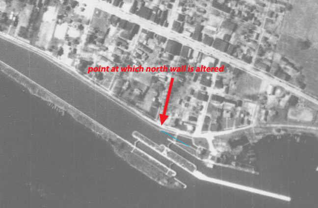
The Morrisburg Hydroelectric Plant was built in 1901. I don’t know about anyone else, but I always assumed that it was built around the time of the Rapide Plat Lock right next door. But I was 45 years wrong. If you look at the overhead photo below, you can see how both sides of the canal lined up with the lock originally, only veering north towards the HE Plant at the spot I have marked. My blue line even shows how the north wall of the canal and the south wall of the plant near the turbine line up! I only looked at this recently when I learned about the construction date.
As an aside, I’ve always wondered why the south wall of the headpond in that area is in such disarray – much more than you’d expect from the surface demolition before the Seaway flooding… more about that later.
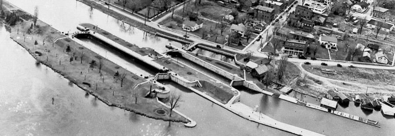
Here’s what the Plant would have looked like right after completion. Notice there are no trees, no landscaping, no lightposts, and no building extension that shows up in later photos.

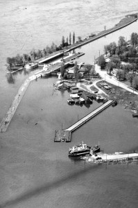
Here it is again a bit later, now showing all its components plus signs to the two locks. To the left is Canal Street, which you swim over at the start of the dive on your way to the canal.
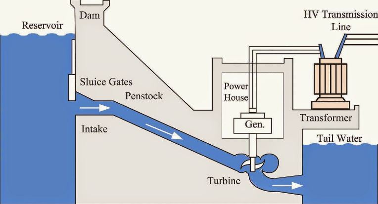
Below I’ve labelled the parts of the Morrisburg Plant and included a simple diagram showing how it works. This is in case you need a brief science lesson – I certainly did.

Now that you know a bit of the history, let’s proceed to the dive in the next post.
Sydney
